

Winning team ScriptScape
Members: Eylül Uzun, Ezgi Uzun
Project Overview Connecting Urban Fragments and Community
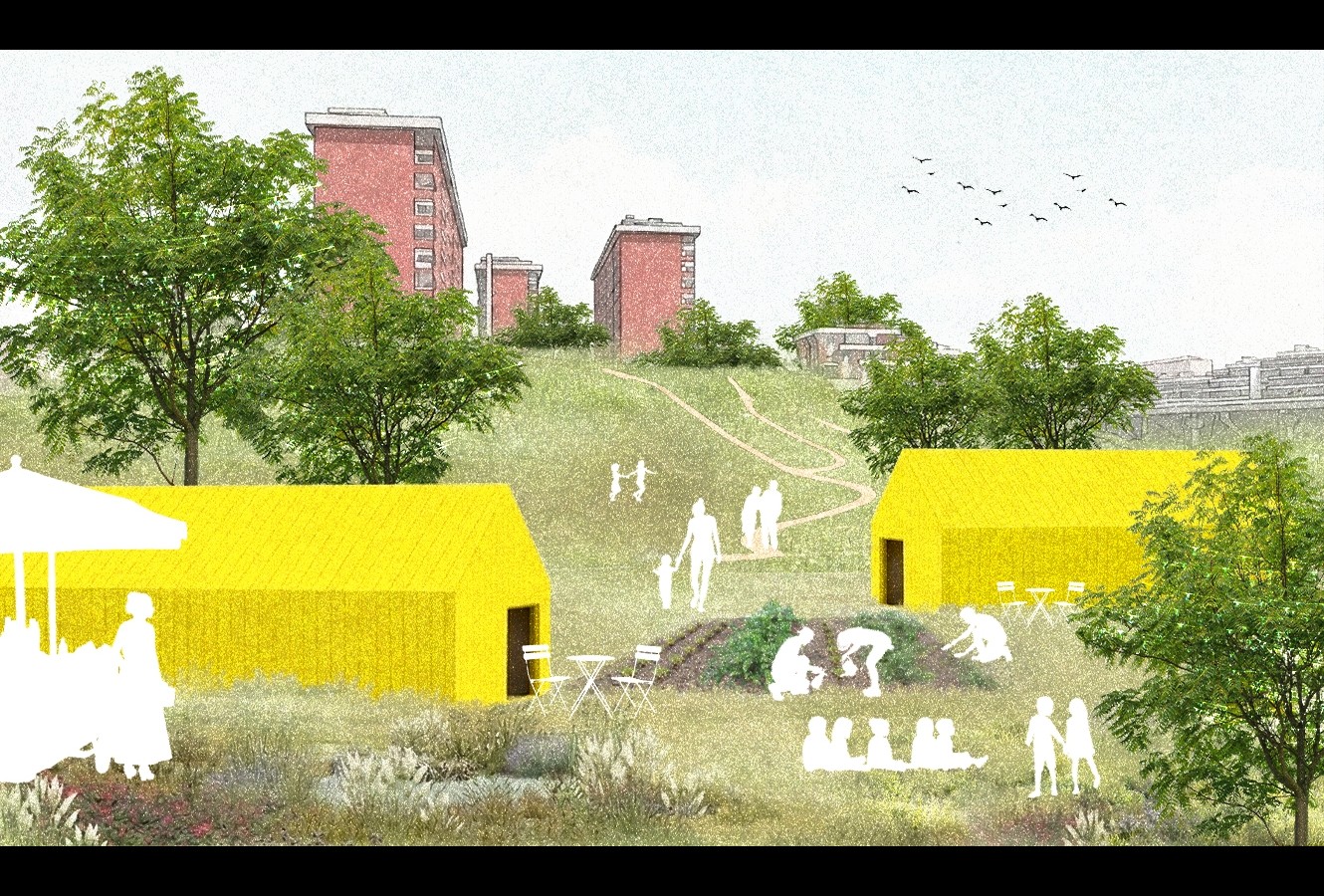
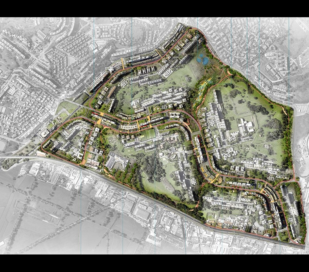
Connecting Urban Fragments and Community draws on spatial environmental data - urban heat distribution, vegetation density, and soil sealing - alongside community feedback, to identify sites of micro-climatic stress and ecological fragmentation in Spinaceto. Rather than proposing a fixed master plan, the project adopts a school-centric model, using local schools as initial anchors for environmental education and urban farming before extending progressively into wider ecological corridors and public space networks.
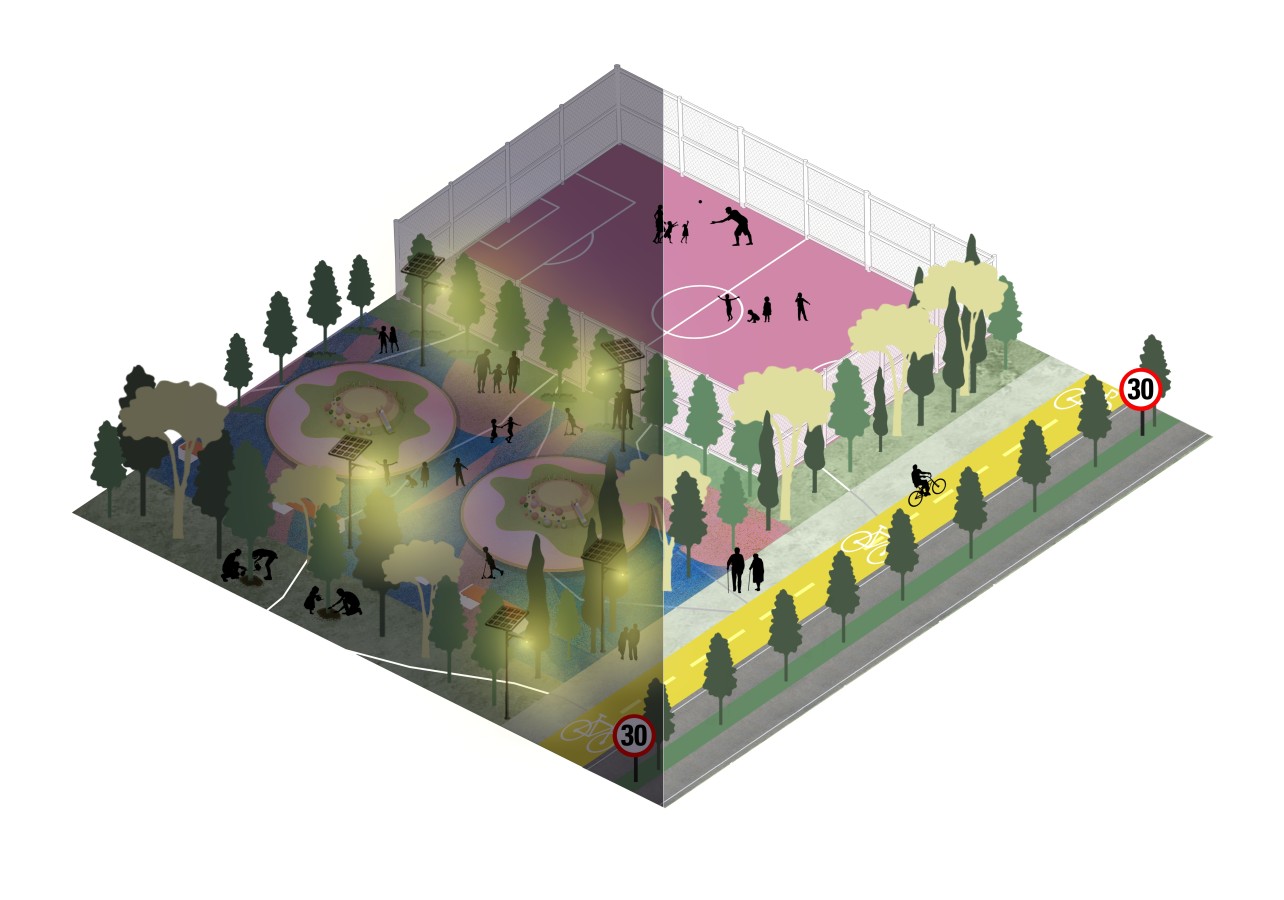
A key strength of the project is its incremental, evolutionary strategy that moves beyond rigid master planning to foster long-term community stewardship and social cohesion. By seamlessly pairing nature-based solutions - bioswales, selective de-paving, micro-forestation, and shaded slow-mobility routes - with multi-use public spaces, the plan simultaneously targets climate resilience and stormwater management while enlivening the community realm.
Check out the documentation tab to view the winning team's proposal!
Honorable mentions
- MNZ — Team: Yun Na Chen, Wanying Deng, Ruizhe Pu, Rujia Sun, Boran Xu
- Spinaceto — Team: Vera Ershova, Elena Moore, Jordan Sebastian Sapino, Delfina Borioli
Congratulations to all teams that participated! Thank you for bringing your bold ideas to this site.
The Site
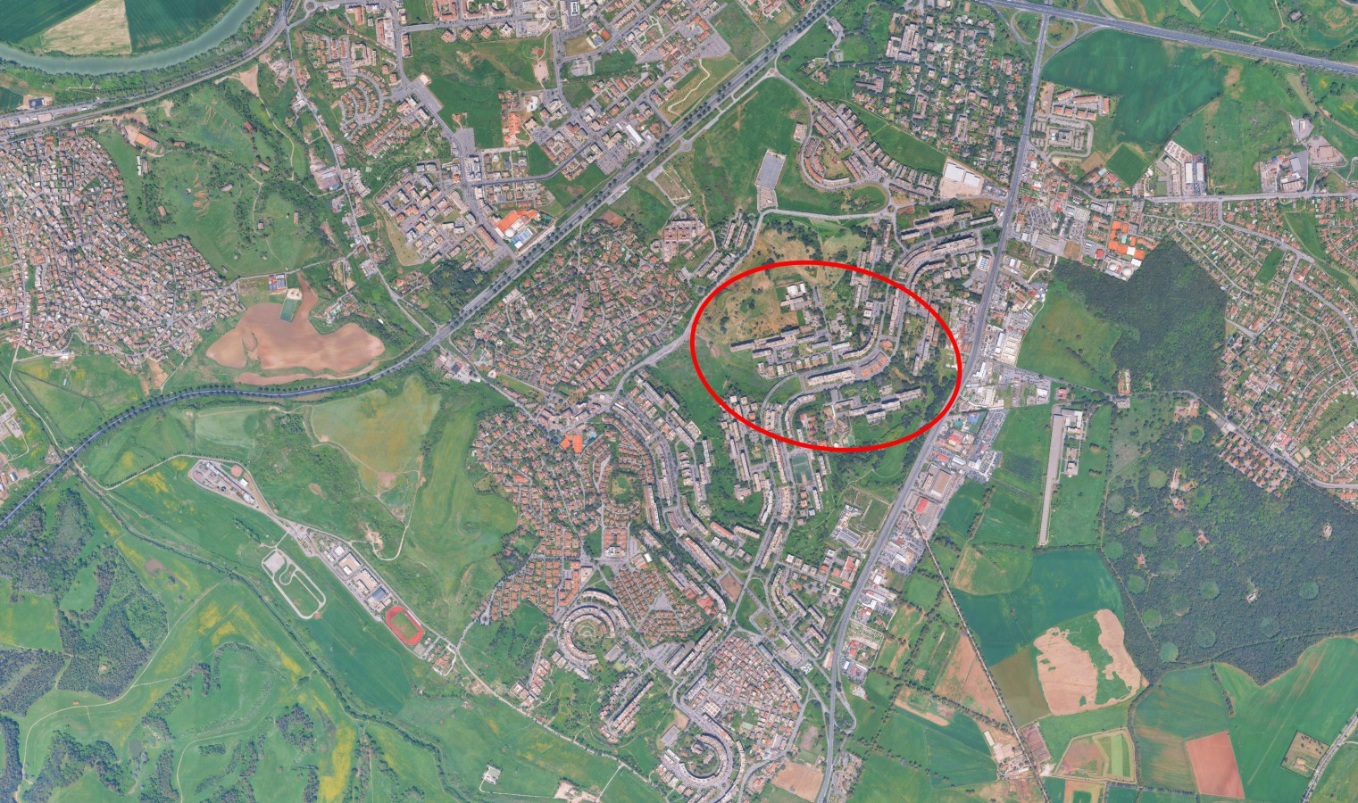
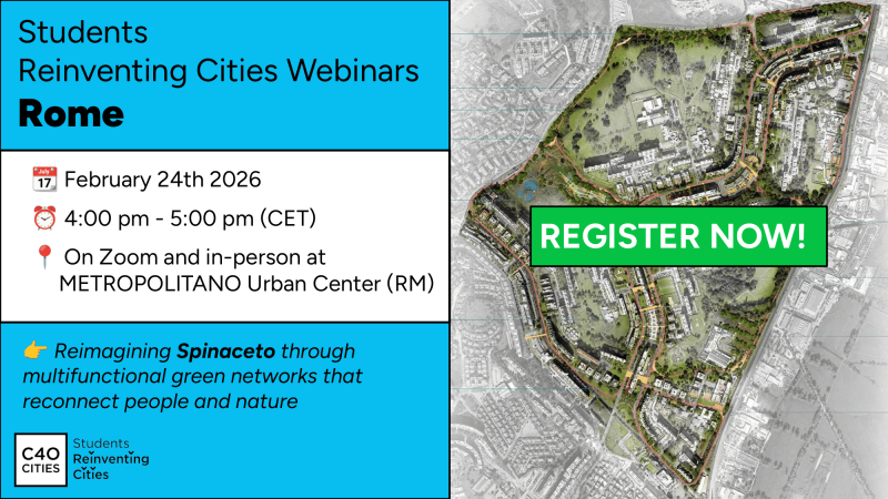
The Spinaceto neighbourhood is located in the southwest quadrant of Rome, in Municipality IX, within the flat territory delimited by the GRA (ring road), Via Pontina, and Via Mezzocammino, approximately 12 km from the city centre.
Born as the first and one of the most important projects realized within Rome's first PEEP (Piano di Edilizia Economica e Popolare), Spinaceto was designed starting in 1965 by architects Moroni, Di Cagno, Barbera, Battinelli, Di Virgilio, and Francione as a "dormitory neighbourhood." The urban design principles underlying the project include:
- Concentration and continuity of public and private facilities to ensure maximum compactness
- Accessibility and permeability between residential spaces and social areas to guarantee maximum participation in collective life
- Direct relationship between residences and open spaces (countryside and parks) to provide every residence with a view of greenery
- High building density to maximize functional efficiency of infrastructure
The neighbourhood is currently the focus of a "15-Minute City" Programme initiated by Rome's municipal administration, which has led to the development of a Masterplan identifying priority intervention axes and a set of projects to be developed based on subsequent analysis and funding sources.
Site Area & Key Information
- Total Site Area: 446 ha
- Residents: ~26,000 (55 ab/ha)
- Average age: ~47 yrs

Download specific documents for this site
Keep me posted!
Questions?
If you have a question or would like more details on the site and the Students Reinventing Cities competition, please use the form below. You will receive a response via email.
