
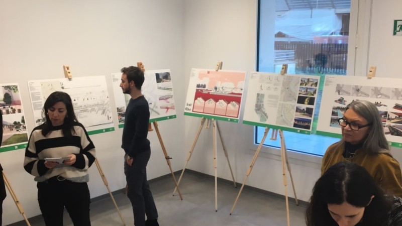
Winning Team: Fab For Future (FFF)
Team members: Federico De Angelis, Matteo Augenti, Mosè Colombi Manzi, Giorgia Cassia, Luca Forestiero, Vincenzo Cresi, Mariasole Facchi, Andrea Giunchedi & Davide Salvi - Università degli Studi di Milano - Bicocca, Politecnico di Milano & Università di Genova
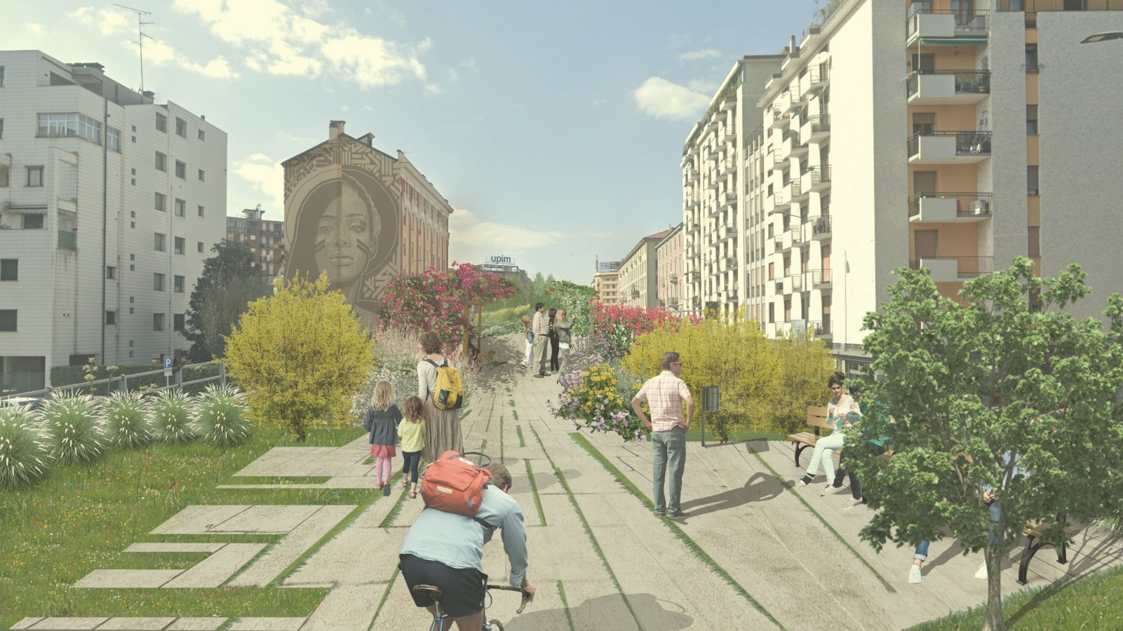
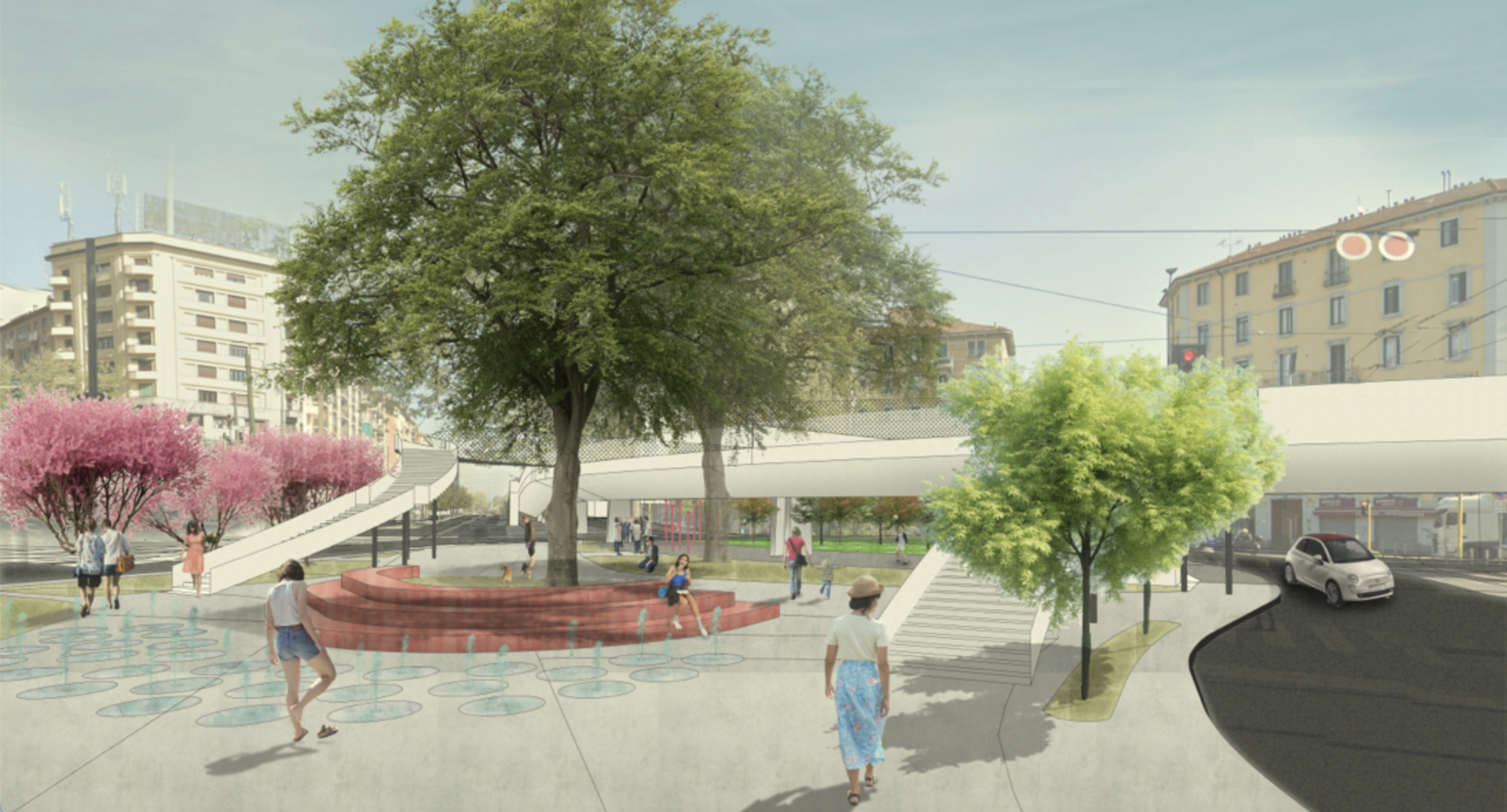
Fab For Future’s “Fly Over, Live Under” focuses on the dualism between both the “over” and the “under” of this site; it considers redevelopment both for the square underneath and the flyover above, which are connected through walkways.
1) “Fly Over”
- Redesigning roads in phased design (two-way flyover, roundabout, increasing bicycle paths with the goal of creating a completely pedestrianised tree-lined accessway.
2) “Live Under”
Transformation of the site into a ‘Corvetto Superblock’ that is a network of connected spaces, rather than roads.
Creating a new multi-use building (co-working, restaurant, events space to attract people to the area
High-density wooden panels to reduce noise pollutants
Urban greening to create spaces such as community gardens, climbing, basketball courts, outdoor gyms
Community engagement was integral, with the team joining the community board “Rete Corvetto” and creating a focus group to gain input from a wide demographic of residents (between 21-80 years old). The team developed a questionnaire and success indicators to ask residents every 2 years as part of the proposal.
Special Mention | Team Gray to Green
- Team Members: Xi Wang, Qi Chen, Yuanyuan Tang & Xi Li | Politecnico di Milano
Special Mention | Team BE BRAVE
- Faculty advisors: Prof. Sara Protasoni, Prof. Hope Ives Strode, Dr. Davide Montanari & Dr. Sara Anna Sapone | Politecnico di Milano
- Team Members: Xinyu Zhao, Alessia Valenti, Andrea Tassi & Michelangelo Falco Da Pozzo - Politecnico di Milano
Special Mention | Team Corvetto Mending
- Faculty Advisors: Prof. Sara Protasoni & Prof. Hope Ives Strode | Politecnico di Milano
- Team Members: Benedetta Damiani, Micaela De Carlo & Weiyi Luo | Politecnico di Milano
Special Mention | Team CABIN_Crew
- Faculty Advisors: Prof. Sara Protasoni, Prof. Hope Ives Strode, Dr. Davide Montanari & Dr. Sara Anna Sapone | Politecnico di Milano
- Team Members: Giada Valsecchi, Benedetta Zucchi, Chiara Zocco, Emma Spinelli, Filippo Galasso, Gaia Santamaria, Manuela Gad El Sayed, Giuseppe Guiducci, Laura Sala, Sarah Bindiku, Sveva Rebaioli, Camilla Rigobello & Sara Dar Eisa | Politecnico di Milano
We would like to specially acknowledge universities that participated in the competition, including: Patras University, Catholic University of Milan, University of Geneva, Politecnico di Milano, University IUAV of Venezia, Sapienza University of Rome, Fundación Universidad de America & Wrocław University of Science and Technology. Find a comprehensive list of all recognising the efforts of all participating teams in the documentation tab!
The members of the jury that assess all submitted proposals are:
- Bianca Russo, C40 - Zero Emission Area Senior Manager
- Rosario Caffo, IKEA Group - Country Expansion Manager
- Stefano Mondani, Comune di Milano, Direzione Mobilità
- Ilaria Giuliani, Comune di Milano, Direzione Verde e Ambiente
- Chiara De Grandi, AMAT - Agenzia Mobilità, Ambiente e Territorio
- Pietro Guermandi, Comune di Milano, Direzione Rigenerazione Urbana (membro supplente)
The City of Milan’s Urban Plan (P.G.T. “Milano
2030”), with the vision outlined by the Planning
Document, identifies the flyover area and the
neighbourhood in which it is situated as
"regeneration areas," recognising their potential
to both revitalise the neighbourhood by putting
public spaces in the centre and to change the
structural dimension of the City by bringing the
centre closer to the suburbs and the Southern
Agricultural Park.
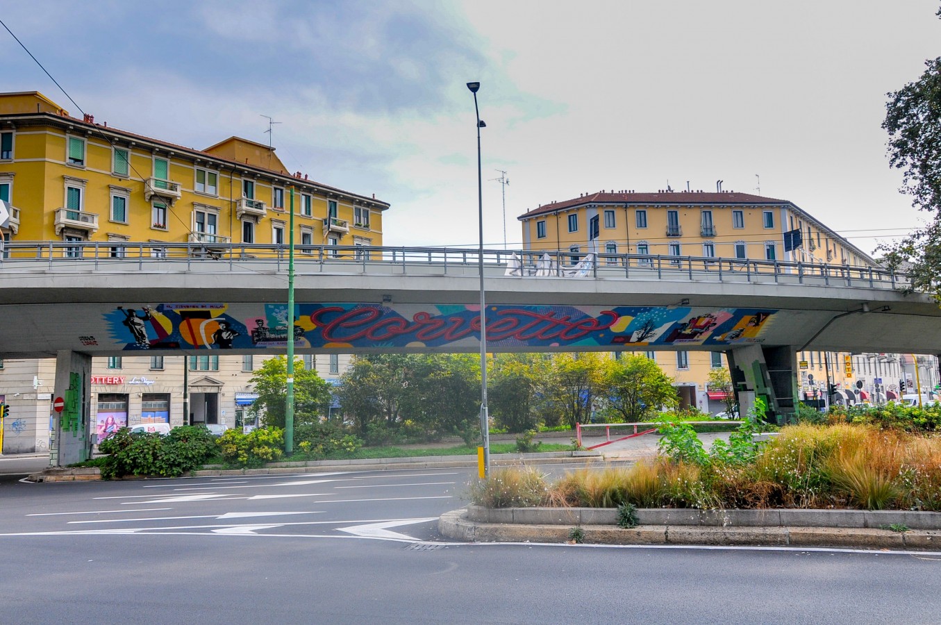
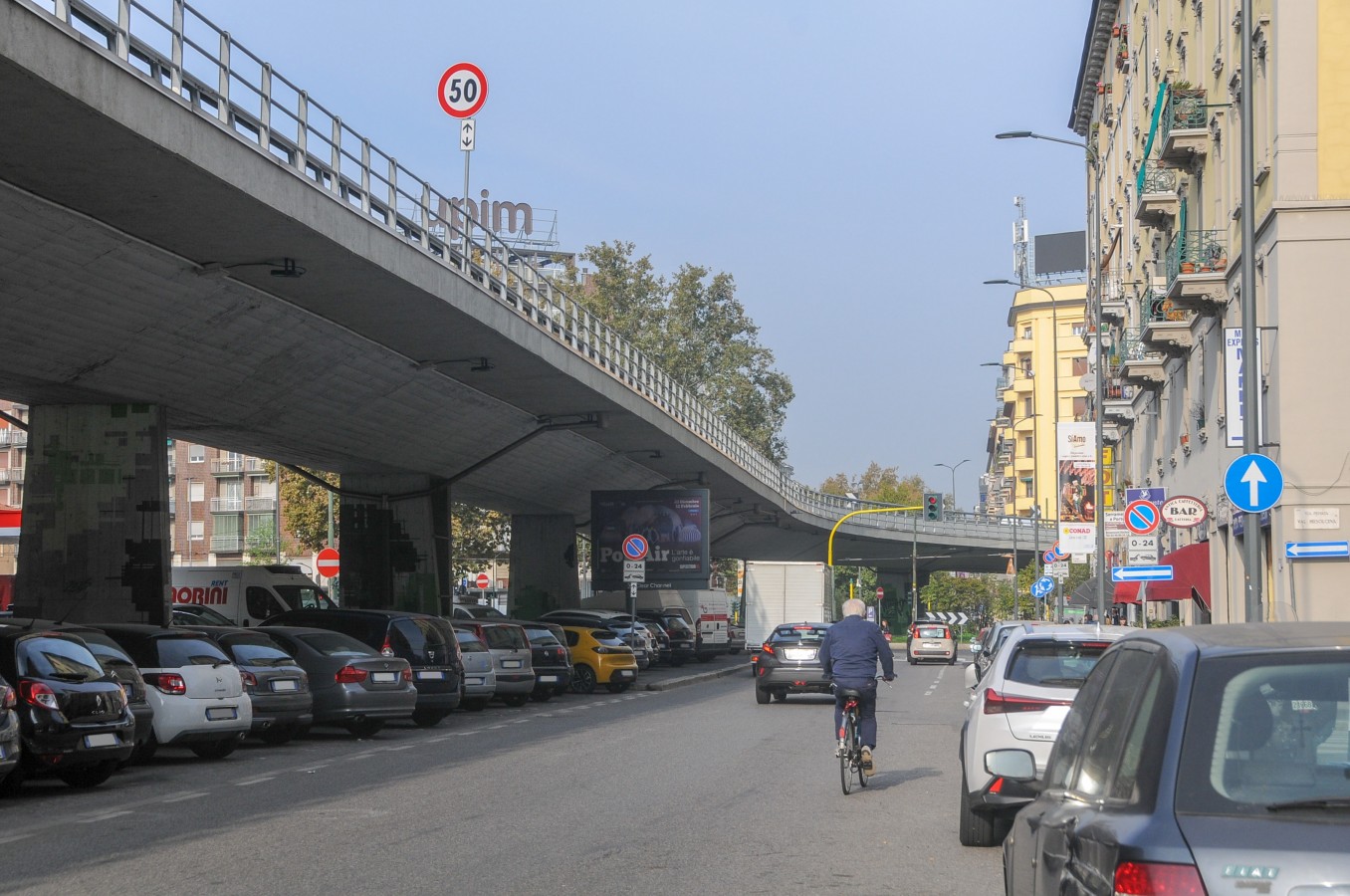
For the purposes of the competition, the flyover
must be reimagined in order to restore the urban
fabric, reinforce the functional mix, remodel
vehicular traffic, enhance bicycle and pedestrian
mobility, reduce exposure to noise and air
pollution, and introduce innovative climate
adaptation solutions.
What new areas and
activities might be created if the flyover is
redesigned by altering vehicle flow? How do
public areas, links to the current road system,
and green spaces in between change? A new
ecological, social, and recreational infrastructure
can be built to connect the Cassinis Park to the
south with the Alessandrini Park to the north on
a bigger metropolitan scale. “Reinventing
Flyover Corvetto”, becomes an opportunity to
reflect on new spatial and
functional configurations within the framework
of the 15-minute city.
Approx. site area
The project area involves approx. 65,000 sqm, includes the flyover, as well as public spaces and connections to the existing road system.
Key Information
The site is surrounded by a
condensed and concentrated urban fabric
that includes areas undergoing
transformation and is densely populated with
more than 36,000 people who have very
diverse socioeconomic profiles. There is also a
high concentration of youth and foreigners.
Priority areas and main expectations
- reimagining the presence and role of the flyover to reconnect the urban fabric;
- creating a green corridor that connects the main existing and future urban parks;
- introducing new functions according to the 15-minute city model;
- redeveloping public spaces and creating new meeting places;
- extending the bicycle network;
- rethinking the vehicular mobility system in terms of sustainability, as well as enhancing interchange systems.
Download specific documents for this site
Keep me posted!
Questions?
If you have a question or would like more details on the site and the Students Reinventing Cities competition, please use the form below. You will receive a response via email.
